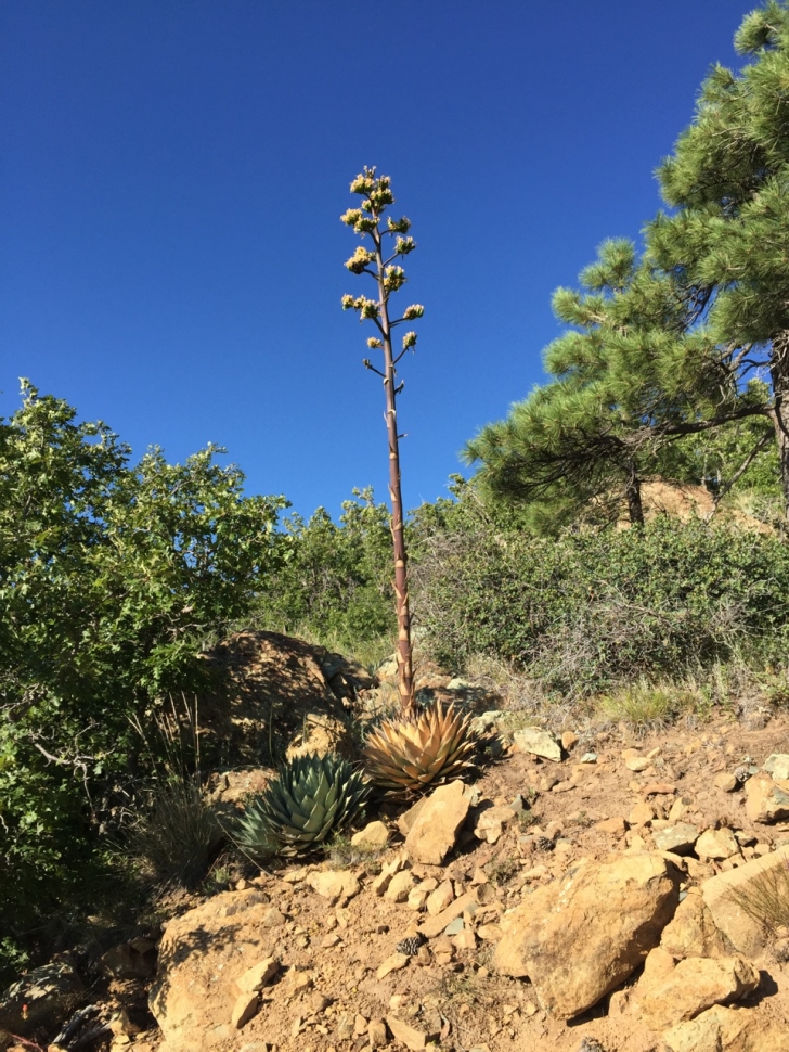
Even though it’s starting to look like I’ve unwittingly joined R. Scott Jones on the High Point of Every Arizona County Quest, Mount Ord is actually the second highest mountain in the Mazatzal Range of central Arizona. I’m most surprised by the cool temps and the transition of climate you experience on the short journey and evelecation climb. From an upper Sonoran landscape of creosote, saguaro, and palo verde, you ascend through grasslands and end up in a deciduous forest with oak trees.
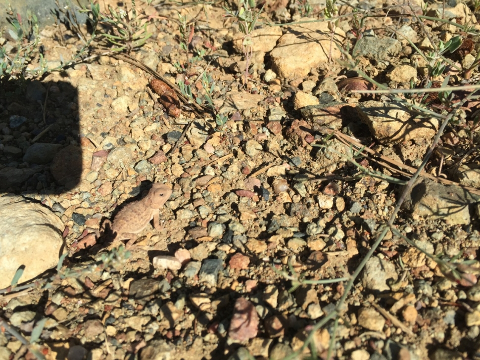
My favorite wildlife we spotted in many numbers were the horny toads. They exactly match the color of the soil. You would never see them if they didn’t scamper away on your presence. Supposedly the area has one of the densest concentrations of deer, black bear, and mountain lion in all of Arizona as well as a variety of birds, but the only large mammals we spotted were deer. From the top, Roosevelt Lake, the Four Peaks, and the Mogollon Rim can be seen.
You can drive the forest roads within a mile of the peak. It is 4,720 ft. from the base to the summit. I’m looking forward to camping this area soon. 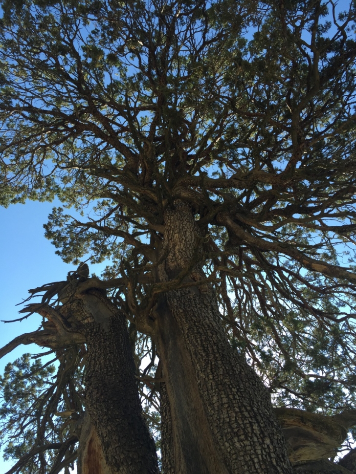
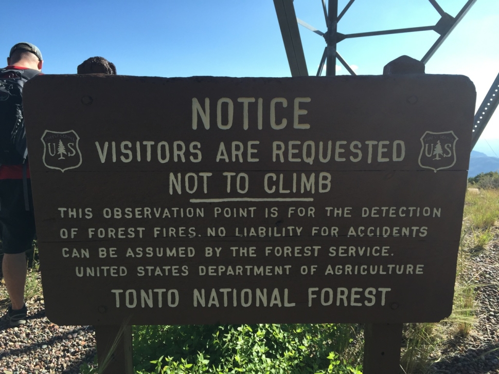
This sign hails from a past time. More affirmative do not tresspass sign is on the stairs. BUT I got invited up to the top by the Forestry Service guy. Magnificent views.
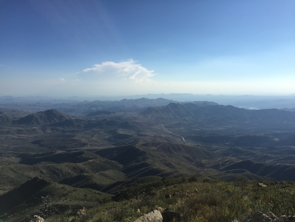
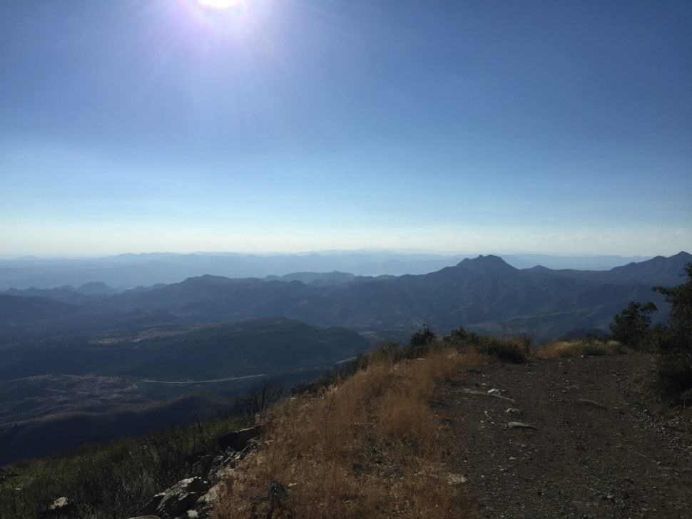
This one was actually from the hillside. To the left is Roosevelt Lake and to the right you can see the Beeline Highway and a little sliver of Bartlett Lake. 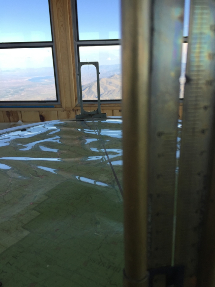
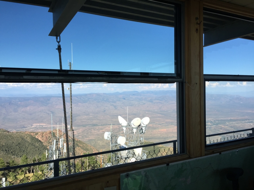
The map apparatus to scope the location of fires.
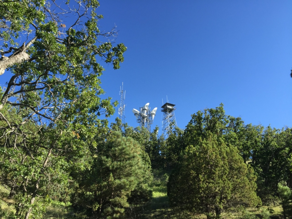
View out the window over the microwave towers
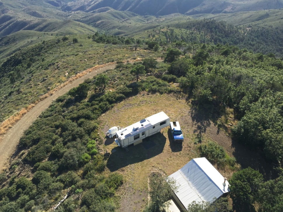
Looking down over the attendant’s camp.
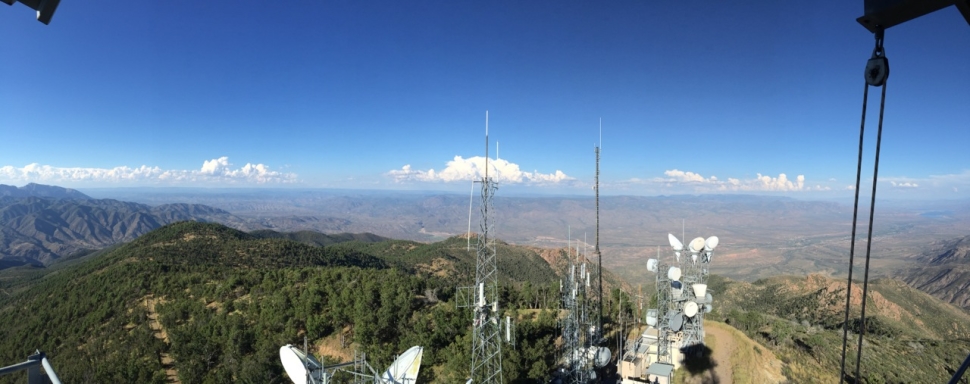
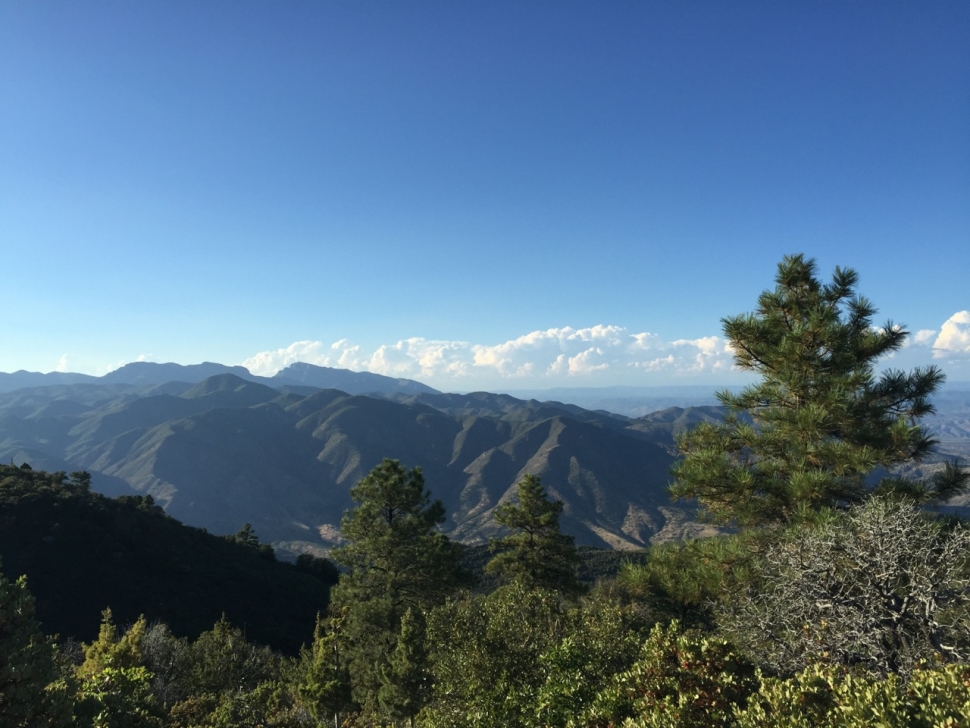
The furtherest line on the horizon is the Mogollon Rim
Looking out toward Roosevelt
This one you can see Bartlett, then the dam on Horseshoe Lake, and a little sliver of Horseshoe itself.
Looking out over the Beeline Highway
A better view of Horseshoe
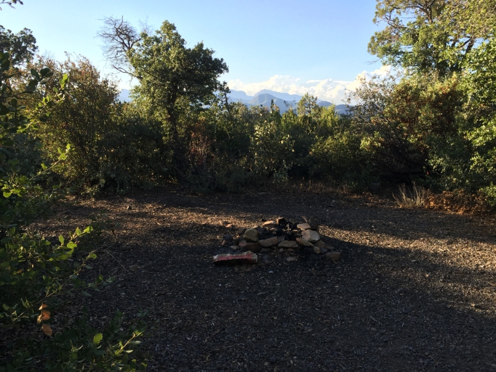
Future campsite



You must be logged in to post a comment.